-
Glider
Launches: 19
Dives: 11765
-
Profiler
Launches: 36
Dives: 94607
-
Drifter
Launches: 93
Transmissions: 1405470
Introduction
Oceans play a key role in the global climate, they represent most of the habitable space on the planet and from them, living and mineral resources of great economic value are extracted. However, the continuous observation of these environments is a complex and expensive task, keeping several gaps in their knowledge still open.
Recent advances in observing technologies and computational methods have been transforming this scenario and several countries already have permanent ocean observing systems with the objective of generating long and continuous time series of oceanographic data, as well as providing real-time information for forecasting systems and decision making.
Project Azul is a cooperation between SHELL Brasil, the Laboratory of Computational Methods in Engineering (LAMCE) COPPE / UFRJ's and PROOCEANO, a Brazilian oceanographic technology company, for the development of an ocean observation and forecasting system for the Santos Basin. Being the region that concentrates the main discoveries in the pre-salt, the understanding of the ocean dynamics is essential for structures dimensioning, the planning of activities and for the safety of offshore operations.
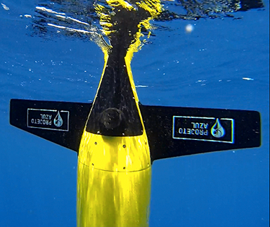
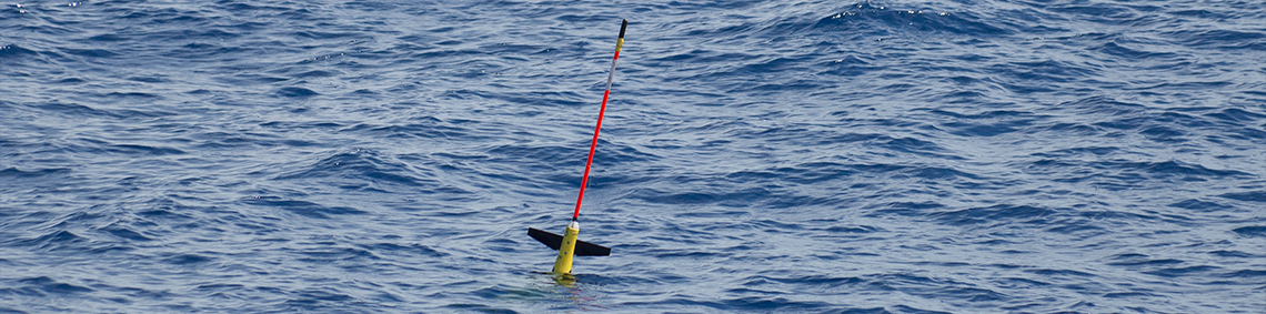
In its first phase, started in 2013, the Project Azul pioneered the operation of ocean gliders in Brazilian waters. In addition, an assimilation system for the data collected by the gliders and several other sources was successfully implemented in a numerical prediction model for the region.
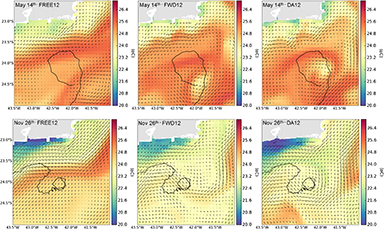
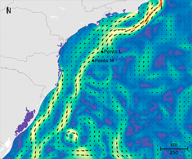
In this new phase, with a projected duration of 4 years, the Project Azul will test methods of observation and modeling in high spatial resolution focusing on the Libra field, in the northeast portion of the Santos Basin. In addition to the continuity of data collection with gliders, the observation will have an autonomous surface vehicle to measure the heights and direction of the waves. Comparisons will be made with the traditional methods used for measuring these parameters (wavemeter and ADCP). The current obtained through gliders measurements will be compared and correlated with readings of the ADCP current meters. These data will be assimilated into high-resolution grids for the field of interest and implemented in operational mode.
Here on this page interactive maps and graphs of the collected data and the results of the models will be presented, as well as projects and publications developed. Welcome and always come back to follow the news and updates of Project Azul.